Duriah/Diriyah Ruins - Mar. 1961
As with many place names in
Saudi Arabia, the English phonetic spellings vary. The city in the wadi
west of Riyadh, which is now mostly ancient ruins, was also called Ad-Dir'iyah or
Ad-Dar'iyah. It was the ancestral home of the
Al-Saud family or "House of Saud." It was the capital for early Saudi states.
In the mid 1700's the religious reformer, Muhammad bin Abdul Wahhaab,
relocated to Duriah. Duriah therefore has historical relevance to the
important Saudi Wahhabi religious and political power of the country.
Ongoing conflict with the Ottoman empire eventually led to Duriah's
downfall. At the direction of the Ottomans, an Egyptian force conquered
Duriah in 1818. The current Saudi leader, as well as local Wahhabi
leaders, were executed. The city was razed. (For more on the "Struggle with the
Ottomans")
On more than one occasion we would venture
out to the ruins on day trips. Presented here are 39 photos taken on one
of those outings in May of '61. We had no guides, no maps and only some
vague notions of the history of the place. We just wandered about,
exploring, taking photos and wondering what life would have been like here many
years ago. Recent Internet searches indicate that much of this site has
been restored by the Kingdom's archaeologists.
|
|
|
|
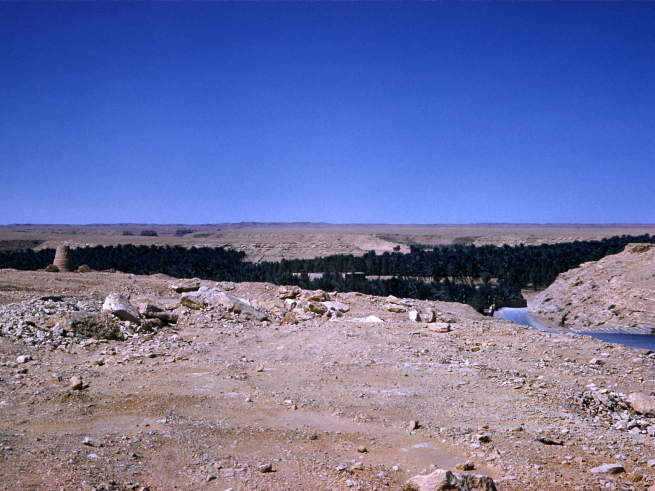
| Coming upon the wadi
with
the road down to Duriah. |
|
|
|
|
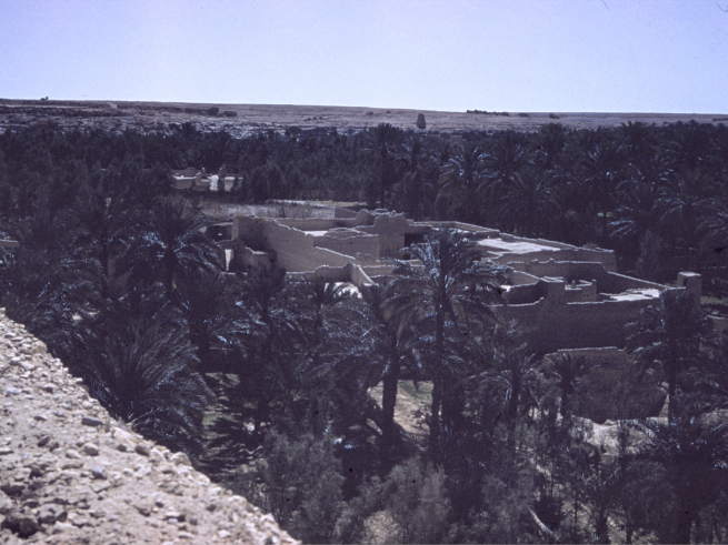
| A damaged slide, but
shows view looking down in to the part surrounded by vegetation. |
|
|
|
|
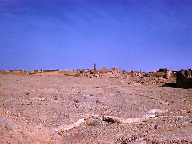
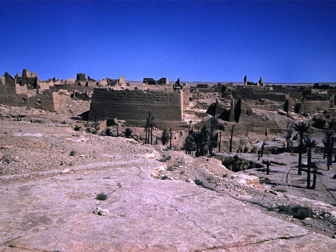
| Not much vegetation seen
here at the higher parts of the razed city. |
|
|
|
|
|
|
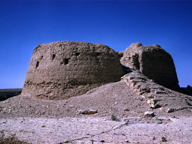
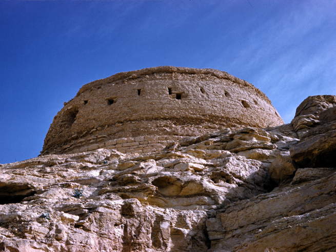
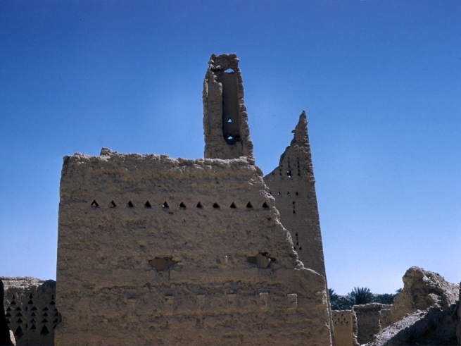
| This ancient fortress turret
commands a prominent position. |
|
|
|
|
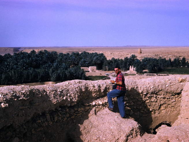
| Hugh Wyland looks down
from the turret. |
|
|
|
|
| Some of the date palms
here also seem to be entering a state of ruin. |
|
|
|
|
|
|
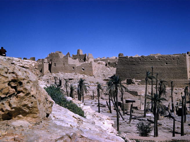
| As we descend into the
old city we get this view back up at the turret. |
|
|
|
|
| Closer to the distressed
palms and the lower level. |
|
|
|
|
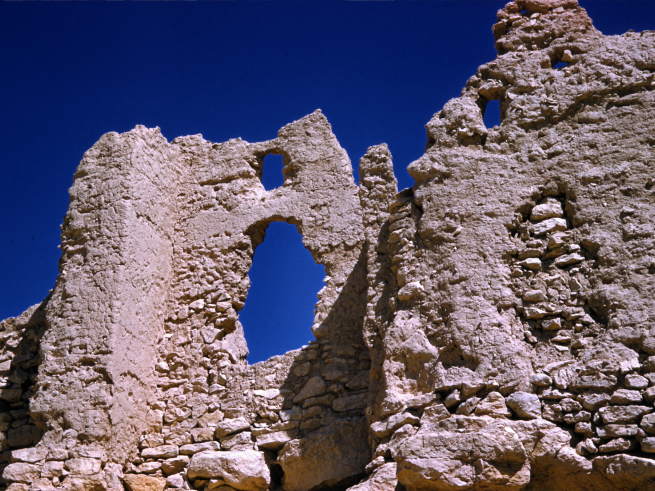
| We wonder if these holes
were caused by military action or ravages of time... |
|
|
|
|
|
|
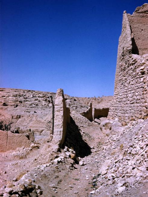
| Rubble strewn
passageways. |
|
|
|
|
| Another view from the
higher level. |
|
|
|
|
| Not knowing for sure
where we are going, we keep exploring. |
|
|
|
|
|
|
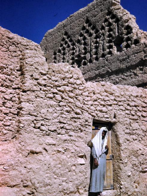
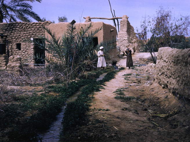
| We were surprised to find
that parts of the old city were still inhabited. |
|
|
|
|
| There were obviously many
multistoried building in this old city. |
|
|
|
|
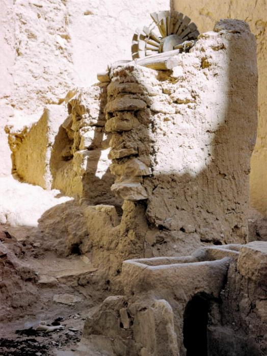
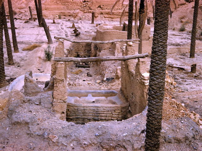
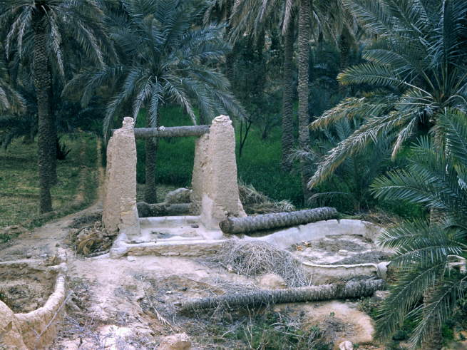
| Evidence of wells and
water systems were apparent. |
|
|
|
|
|
|
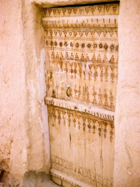
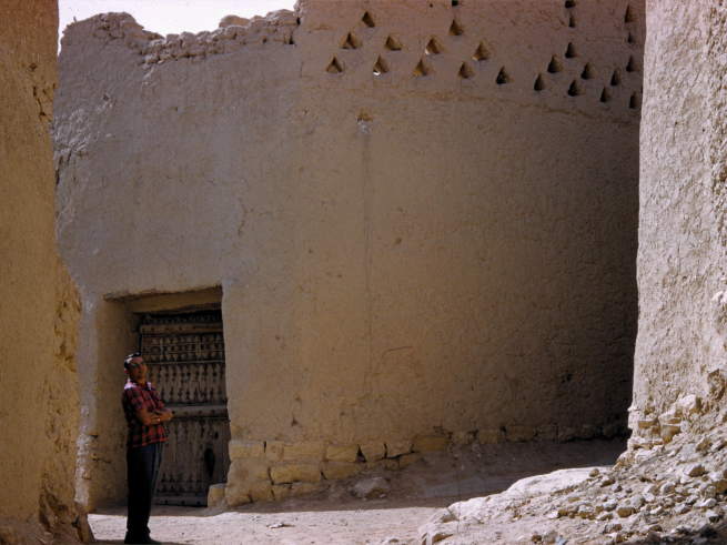
| The ornate doors on some
of the inhabited dwellings were intriguing. |
|
|
|
|
| Sgt Simko checks out
doorways along this narrow street. |
|
|
|
|
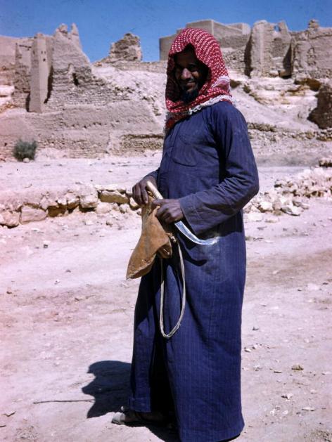
| A very photogenic fellow
willingly pauses & poses. |
|
|
|
|
|
|
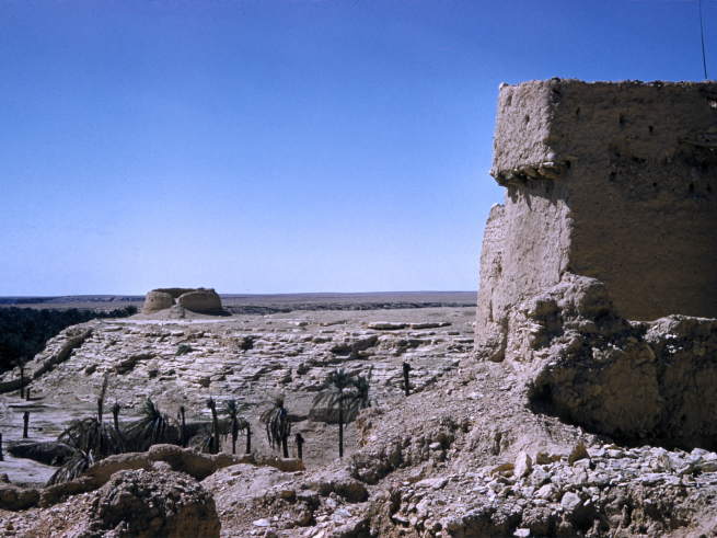
| Down in the bottom of the
wadi or dry riverbed, we find more lush vegetation & active agricultural
activity. |
|
|
|
|
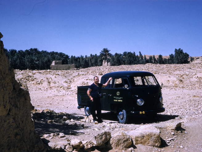
| Here Simko stands by our
trusty VW crew cab. |
|
|
|
|
| At this lower level there
is obvious signs of recent activity. |
|
|
|
|
|
|
| But sign of old ruins are
still present. |
|
|
|
|
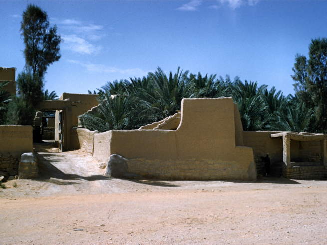
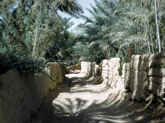
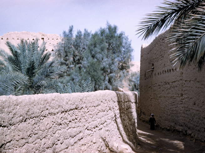
| A pleasant walled
roadway. |
|
|
|
|
|
|
|
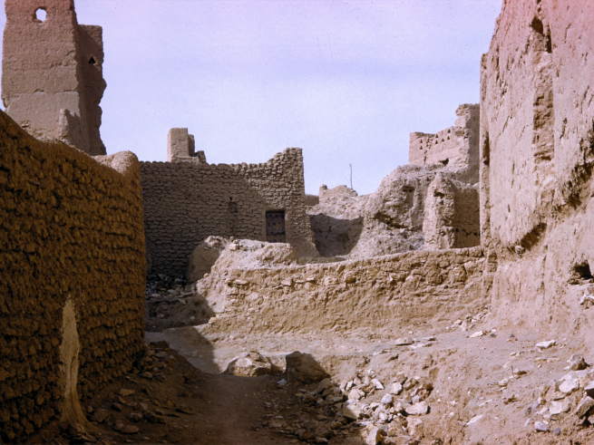
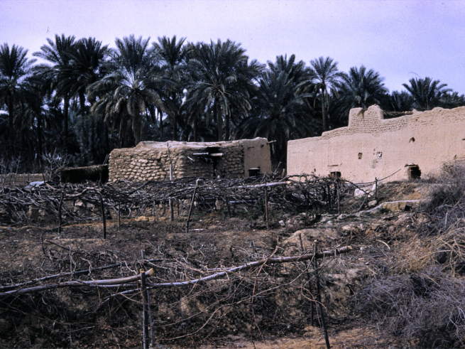
| and more ruined
buildings. |
|
|
|
|
| We were amazed that some
of these old walls could still be standing. |
|
|
|
|
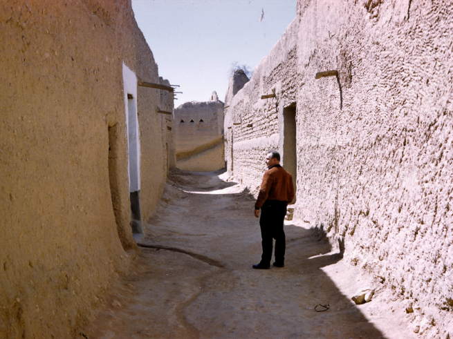
| Checking out more streets
& passageways. |
|
|
|
|
|
|
| It was always enjoyable
to see green in these open places. |
|
|
|
|
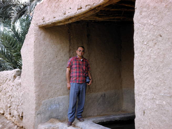
| Hugh checks out a covered
well or cistern. |
|
|
|
|
| Well, I guess Hugh did
find us some capable guides! |
|
|
|
|
|
|
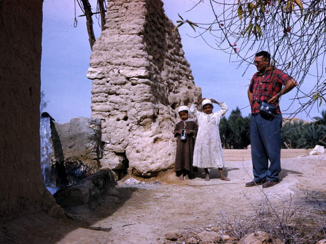
| These friendly young
residents were very willing to show us around their area. |
|
|
|
|
| Here they show us the
irrigated plots beneath the palm trees. |
|
|
|
|
| This exposes water line
gave hints of modern times. |
|
|
|
|
|
|
|
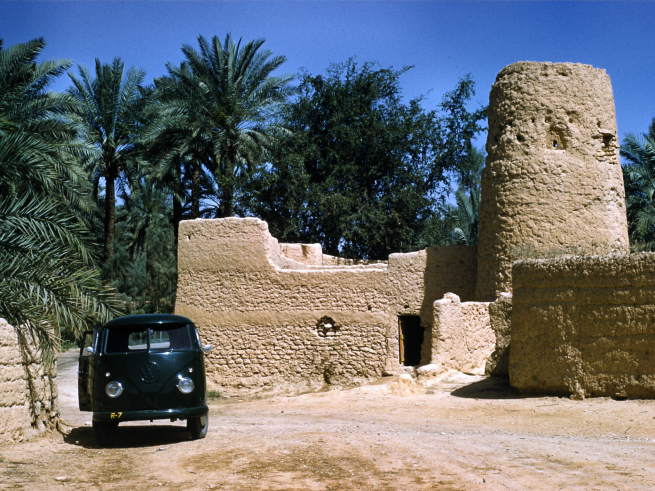
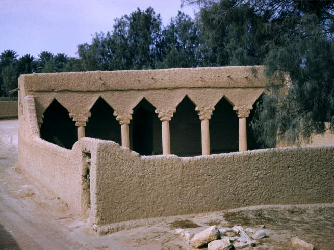
| We guessed this might be
an old mosque. |
|
|
|
|
| This vineyard or ? did
not look to be in good shape. |
|
|
|
|
|
|
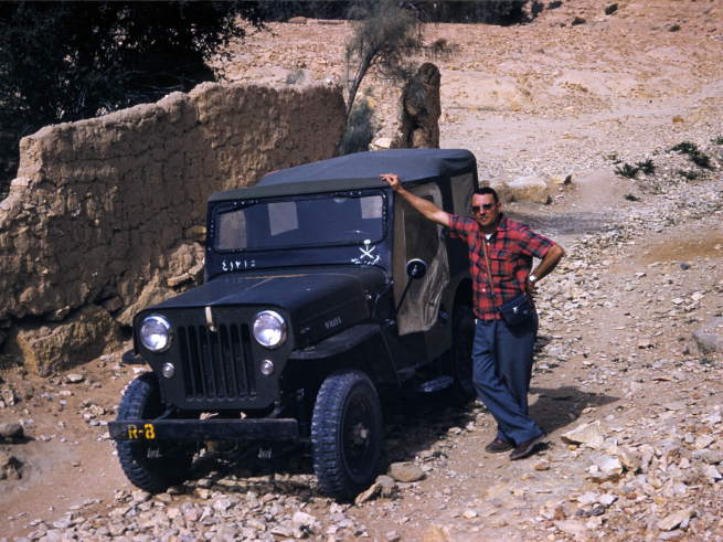
| Hugh poses by the
Mission's Jeep which he often drove. |
|
|
|
|
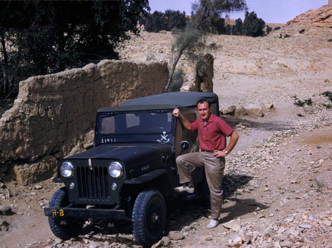
| And Keith had to get his
picture taken with our Jeep before we left the wadi & Duriah. |
|
|
|
|
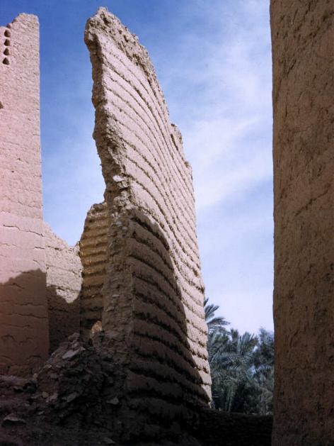
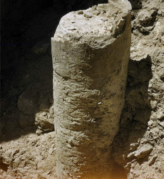
| A lost shot.. but taken
earlier somewhere in the ruins. It must be the remains of a column. |
|
|
Return to Old Military Photo Album Index