Monday, Sep. 17, 2007 - Norway - Drive with Gunleif down Rogaland coast - Klepp to Egersund to Hauge to Åna-Sira (Log)

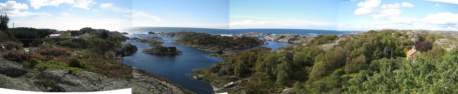
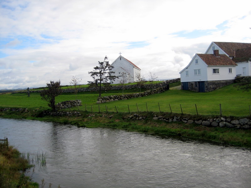
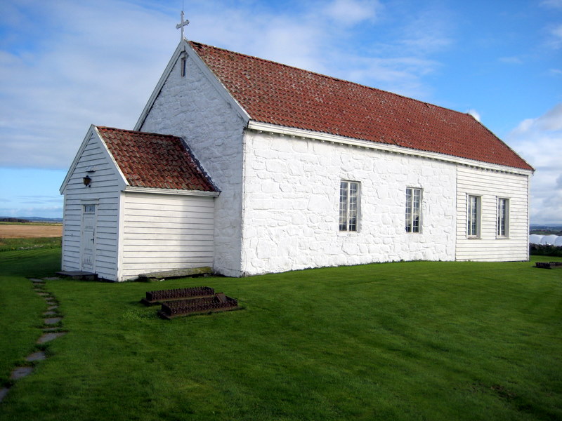
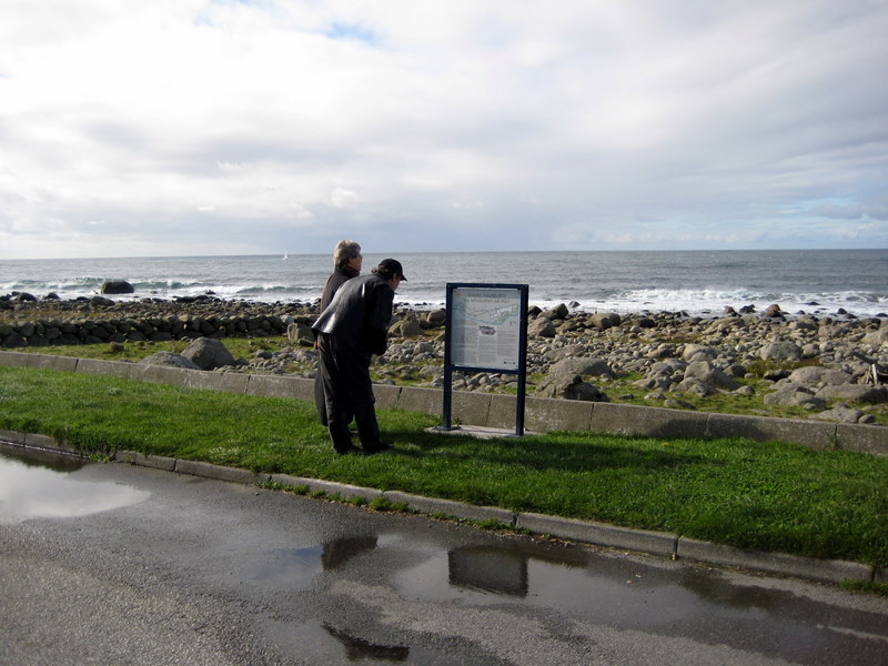
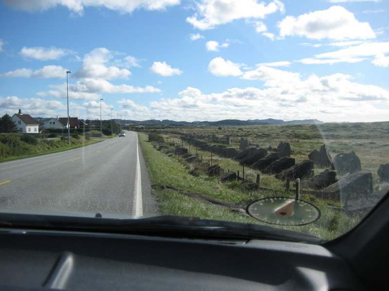
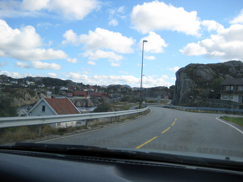
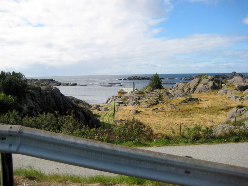
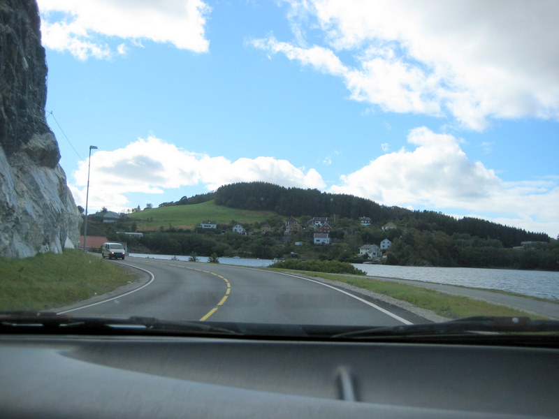
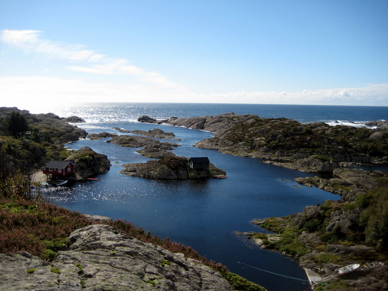
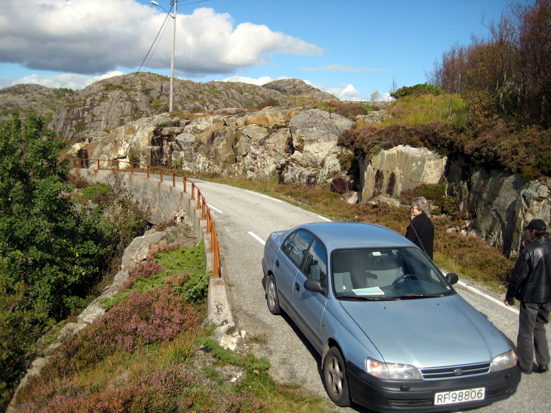
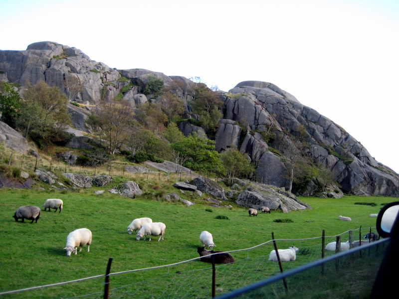
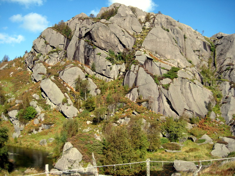
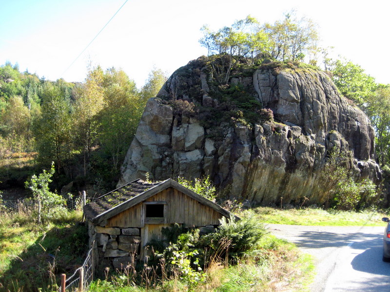
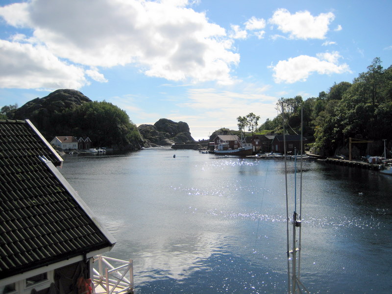
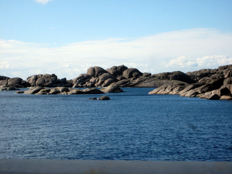
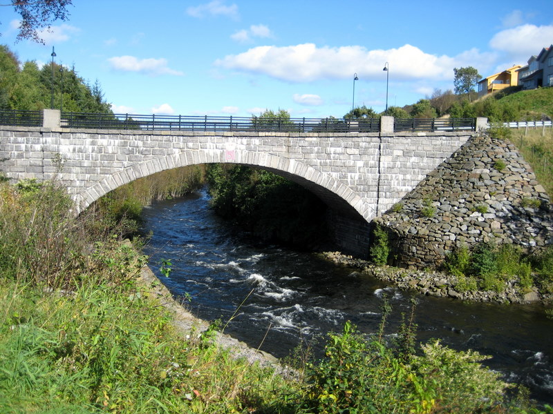
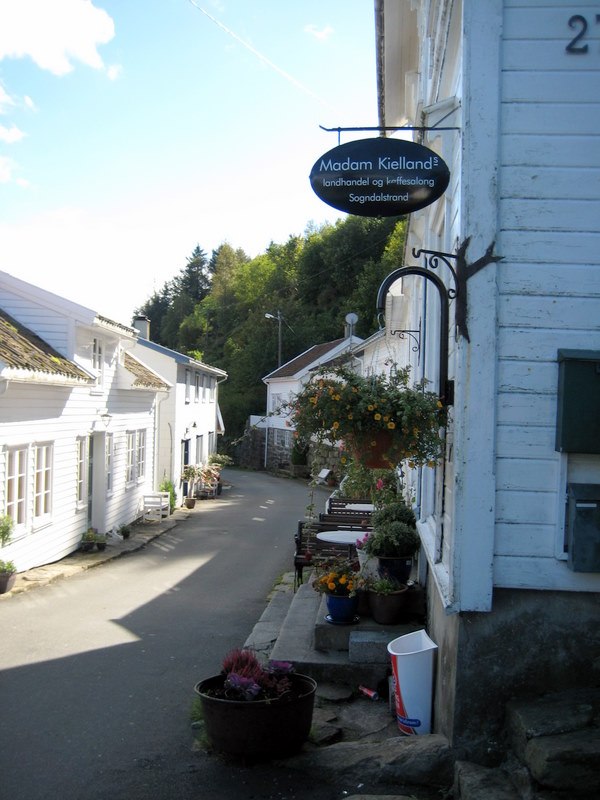
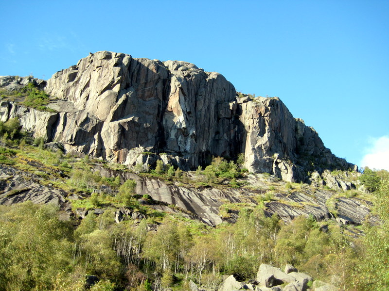
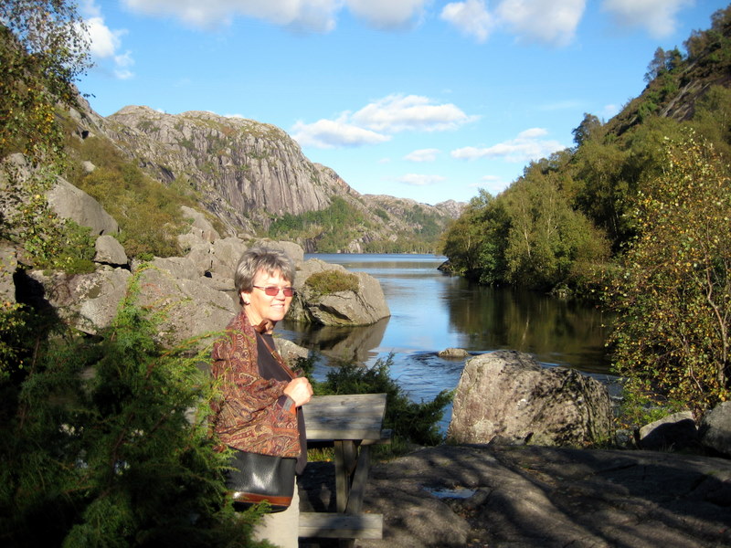
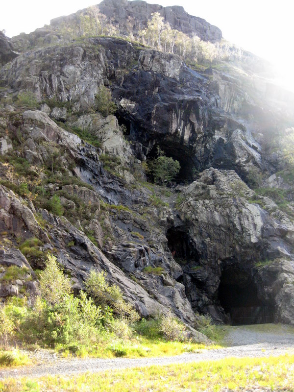
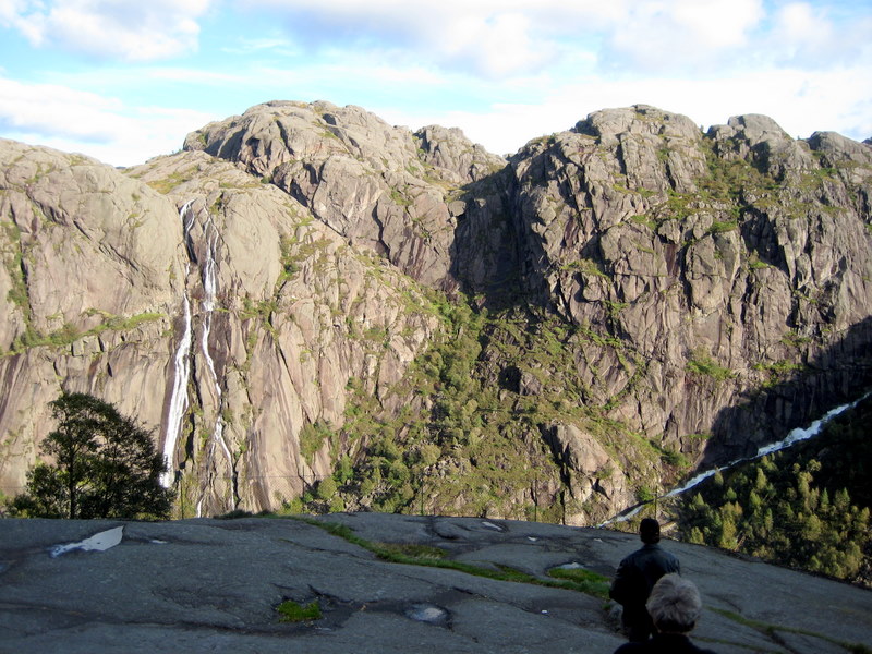
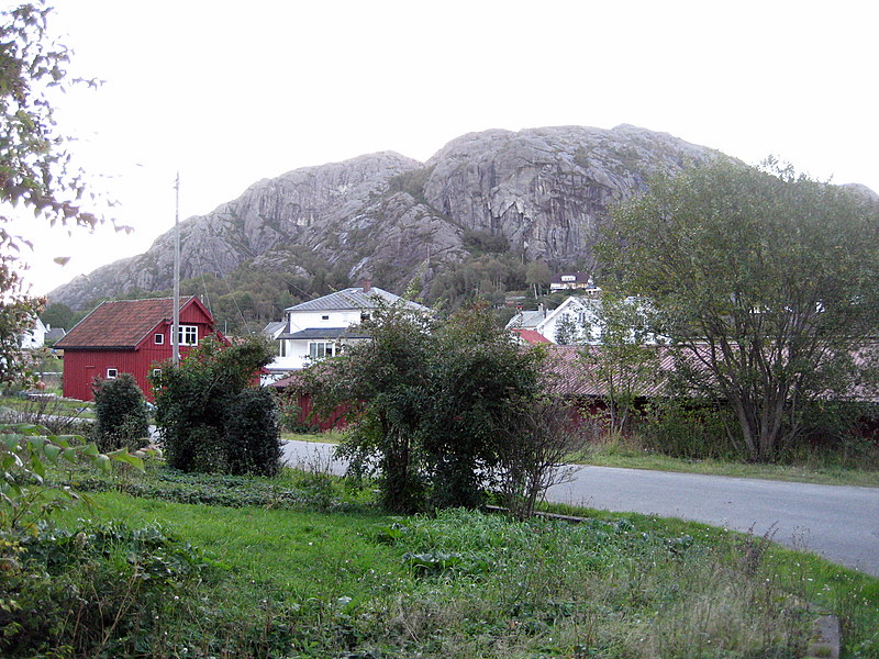
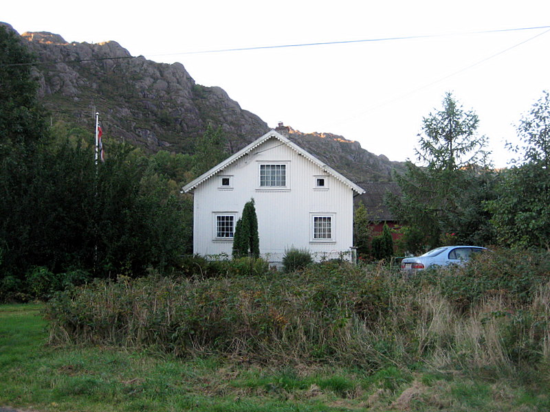
The plan for the day was to take the longer, scenic route down the coast and end at Gunleif's summer place which is right on the very southern tip of Rogaland.  With Gunleif as a superb guide we followed as close as possible to the sea, often using narrow minor roads rather than faster highways. In some ways it reminded us of driving the slow Highway 1 along the Pacific Coast in the States - slow, but beautiful.  This day, in this way, we were able to see a part of Norway, a part of Rogaland, in a way we had not experienced previously. The coastal area of the Rogaland Jæren region is relatively flat rich farmland, but as we go south we notice the change in the terrain as first more gray boulders appear and then we seem to be among mountains of striking, stark but beautiful stone.  Of course loving the sea, we never tired of the wide variety of seascapes as we drove south.  Sadly, it was at the end of this day that the memory card for our new Canon camera started to go bad and several photos were lost forever.


1

Peg, here standing in the Seldal home driveway, is ready for more traveling. While a bit breezy & chilly, the weather forecast is more favorable than the past few days.
2

The coast west of Kleppe had some fine clouds this day after a good rain the night before.  Everything was clean & green.  We will loop around between the beach & the large Orre Lake before heading south. Here is the harbor for small boats protected by breakwater construction (molo) at Reve.
3

Gunlief, ever the historian, had an obscure tale to tell about this spot, "Two farmers from Orre were hanged here in 1615 for hiding goods washed ashore from a wrecked ship. Such items belonged to the king you know!"  His scrupulous research pinpointed this specific place.
4

At the southern tip of the lake, along this stream, we come to the Orre gamle kirke (old Orre church). To reach this historic church we will have to walk though the the nearby farm.    While sometimes used for special occasions like weddings this church is not in active use now as a newer Orre church is a short distance down the coast and more inland. 
5

Gunleif tells us that the stone part of the church was built about 1250. The wooden part about 1860. The famous poet-historian Snorre Sturluson (1178-1241) mentions "Olru-Kåre" in the sagas. Olru-Kåre was the farmer here in those early Viking days & it is believed that it is from him that the farm gets its name (now spelled Orre). 
6

Peg & Gunleif inspect the interpretive sign about the Hårr/Horr graves, boatsheds & silver treasure found in an archeological site just down the coast - apparently a Viking settlement from around 400-600 AD & a coin stash from probably around 1025 AD.
7

Gunleif points out WWII German coastal defense "tank traps" along the road near Brusand. We were glad that we had a guide as it's doubtful, we'd have recognized them on our own. Apparently the Germans forced local folks to build these barriers which are now left for historical reasons. The tank obstructions locally are called "The Hitler Teeth".
8

The flat fields have faded away and the landscape has become more rugged with coastal settlements squeezed into some tight spots between boulders. This picture was taken as we enterd Sirevåg
9

The cultivated patches are smaller & defined by sheer rock.  And yet farming persists in the space available & often very close to the sea.  An access road is a thing to be valued in this topography. This area is called Holmane (Holme = small island). We continue to enjoy the striking views. 
10

Now, nearing Egersund, we notice more fishing villages & fewer of the big farms. We will have to cut inland through this rugged terrain before coming to the protected port of Egersund. 
11

Reaching Egersund by midday we stop in the center of town by the quay. This substantial statue of the ubiquitous fisherman is a fine tribute to the essence of this fishing port.
12

An Egersund coffee shop was a perfect place for a coffee break.  Of course Gunleif & Keith do not take a break from their lively conversations.
13

At the Egersund flower market, Peg's eye immediately finds the heather. They have that iridescent dark blue variety that we're beginning to see in several places. Many local farmers consider heater a "weed," but it is one of Peg's favorite plants. (See Peg's 2000 visit to the Heather Nursery on Karmøy.)
14

In front of the Vinmonopolet (the Wine Monopoly) store, Gunleif explains the government policy regarding liquor & its sale in the country. Then we go in to buy some spirits. For a short explanation see this Wikipedia site; for more details go to this English page from Vinmonopolet.
15

The Egersund church holds a prominent place near the town center and the quay. As Keith has been in the mode of photographing parish churches, he can't pass up this opportunity.
16

Venturing down a side road to the sea, Gunleif shows us a most spectacular vista. This is in the Mong area.  The heather covered land meets the sea in some really spectacular ways in this part of Norway. (CLICK HERE for larger version of panorama)
17

Peg & Gunleif enjoy the view by the car, but Keith climbs a rock to take the panorama shown at the top of this page. He also tries a brief video that captures the vista complete with the movement & sound of the quaking aspen on this breezy day (maybe to be uploaded later).
18

Along this stretch of coast south of Egersund, there were just too many scenic views begging to be remembered. Above is just another example of a little inlet among the rocky coast, again probably close to the Mong area.
19

And inland a bit ... We have to wonder if these sheep know how lucky they are to be sheltered by this great rock and still have green pasture -- probably not.
20

Large stone formations have a particular visual appeal to us.  They're so massive and yet so detailed with lines. It is around this area that we enter Sokndal kommune, the most southern municipality in Rogaland.
21

Peg found the little stone foundation on this roadside cabin an apt use of what is a practically endless resource of building material.
22

At the edge of the little town of Nesvåg, (it's ALL edge) we find this resident harvesting from his apple tree growing precariously in a crevice.  Yes, he shared some with us.
23

Here you see a bit more of the quaint fishing village of Nesvåg. This edge is along the våg/vik/inlet with people houses & boat houses living on the edge. See Bonus Photo #1 below.
24

Looking out toward the sea at Nesvåg. Just out of view on the right is the Sea and Motor Museum, a maritime museum with engines & associated equipment.
25

These appear to be the same kind of rock we have been seeing as we drive, only they're a bit more weathered of course.  Obviously the sea can be a force here.
26

Pulling off the coastal road at Sogndalstrand, Keith marvels at this very attractive new bridge.
27

Sogndalstrand is a special coastal village in many ways. Apparently the noted Stavanger artist Kitty Kielland did some of her work here, as bespeaks the general store & coffee "lounge" on the right here.
28

Sogndalstrand is also an official part of the Cittaslow "slow town" movement & a sign on the entrance requests visitors to respect this quality of life choice. To mark this special visit, Gunleif takes this photo of Xmas card quality.
29

After having lunch in Hauge, the center of Sokndal kommune, we go up in to the rugged rock mountains to the east of this town noted for past mining activities. See Bonus Photo #3 below.
30

Off the road near Hauge, Gunleif shows us the incredible 70+ ton "rocking stone" - Keith thought he was "putting us on" & either Keith or the failing memory card failed to record the huge rock. Pictured here is Peg on the path to this site.
31

A little farther up this gorge near Hauge, we come to the closed Blåfjell Mine. The interpretive sign states that the 3 types of rocks of interest here were "anorthosite, norite & mangerite." There was (& still is) mining for "irontitaniumoxyde" or ilmenite in the area. The company Titania A/S is centered in Hauge & is 1 of 7 manufacturing sites of the huge international corporation Kronos Worldwide, Inc.
32

Heading a little farther south we come to this dramatic high ledge over looking the Jøssingfjord. At this point our camera card fails. But Gunleif tells us more about the nearby plaque in honor of 4 New Zealand airmen that were killed in a 1945 crash near here, plus the saga of the 1940 capture of the German ship Altmark in the fjord that marked the "first act of war" in Norway.
33

[Our photos of the famous "Houses under the Cliff" were also lost. See Bonus Photo #2 below.  NOTE: This & the following 3 photos were actually taken the next morning & salvaged from the defective card.] Late in the afternoon we arrive at Åna-Sira on the north side of the river that separates Rogaland from Vest-Agder.
34

Here, on what was once the Log farm area, we come to Gunleif & Kate's "summer house." We will spend a relaxing night here with Gunleif & Keith talking late in to the night.
35

Nestled between a backwater & the river is their comfortable 100+ year old fisherman's house - according to Gunleif, a "work in progress" as he upgrades & remodels as free time allows.
36

The views from here are stunning - from the surrounding high rock mountains, to the river entering the sea only a short distance away, to the boathouse across the water where they have their beautiful old wooden motor boat moored.

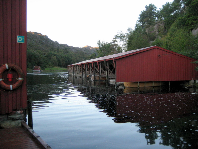
BONUS PHOTOS

On 8 Nov. 2007 Gunleif Seldal sent the 1st 2 photos below from the ones taken with his camera on this day in southern Norway. This prompted Keith to look further for a recovered photo from the Wheeler files, which resulted in the 3rd photo below.

Boat_houses_Nesvaag.JPG (123166 bytes)

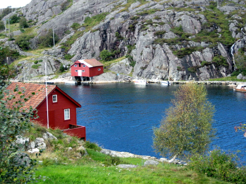
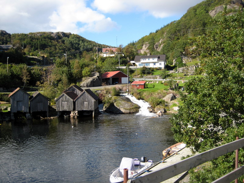
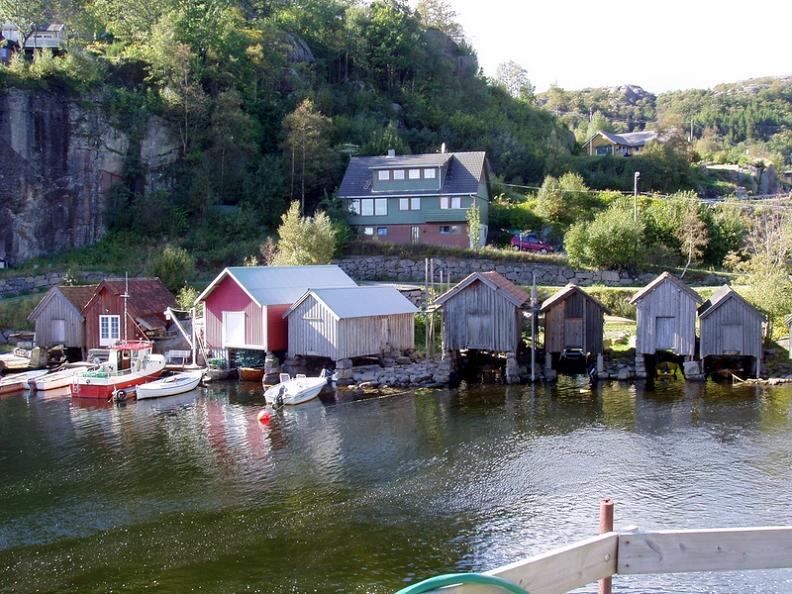
Boat houses at Nesvåg. (Gunleif photo) 

Houses_under_cliff.JPG (130072 bytes)

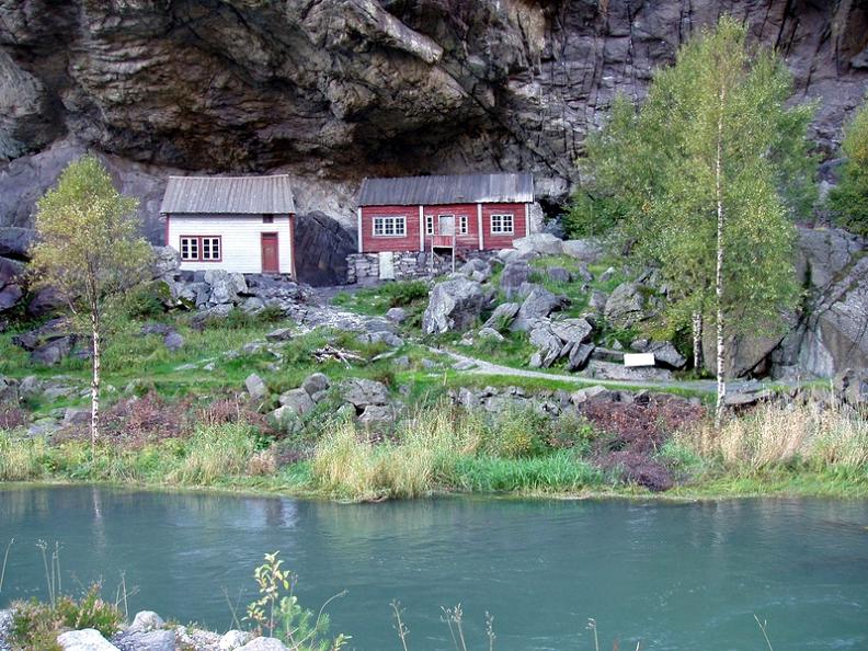
The houses under the cliff at Jøssingfjord. (Keith took with Gunleif's camera) 

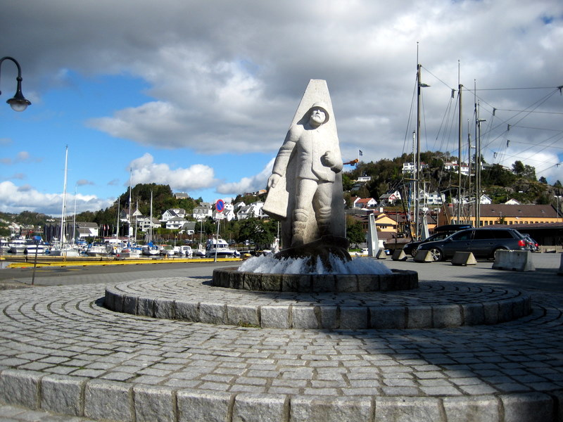
Mining sculpture in front of the Sokndal kommune headquarters in Hauge. (Keith photo)

Back to Europe 2007 Index Page